The essentials
- CACT gives Montañas del Fuego 09:30 to 15:45; Turismo Lanzarote gives 09:00 a.m. to 04:45 p.m. and MITECO 9:00 to 17:00.[1][2][3]
- No box-office sales: tickets are bought online in advance for a fixed date and time, from €30.00.[1][4][22]
- MITECO gives the national park a total surface area of 5,107.50 hectares, in the municipalities of Tinajo and Yaiza.[7][12]
- CACT asks visitors to remain inside the vehicle from El Taro to the Islote de Hilario car park.[1]
- Walking over the lava is not possible; the Tremesana guided walk is free but must be booked 25 to 30 days ahead.[5][24]
| Montañas del Fuego | Mancha Blanca | Guided walks | |
|---|---|---|---|
| Hours | 09:30-15:45, per CACT[1] | 9:00-16:00, per MITECO[6] | Meet 15 minutes before departure[24] |
| Booking and cost | Online in advance, from €30.00[1][22] | Free access to the exhibition[5] | Book 25-30 days ahead, free[24] |
| Duration | 35-minute coach route[1] | About 30 minutes of audiovisuals[6] | Tremesana: 3.5 km, about 3 hours[24] |
| Rules | No free exploring by car or on foot[22] | Outside the national park boundary[9] | Tremesana is compulsorily guided[24] |
| Where | Islote de Hilario, off the LZ-67[3][7] | Ctra. Tinajo-Yaiza, Km 11,500[6] | Plaza de los Remedios, Yaiza[24] |
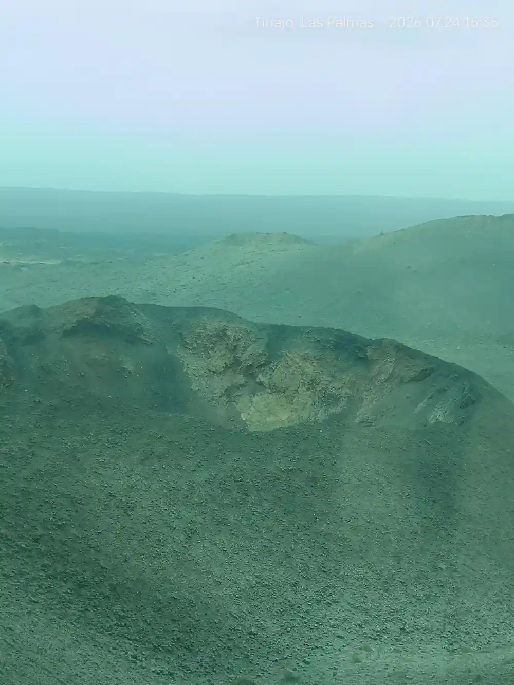
Timanfaya National Park is one of the most impressive volcanic landscapes in the world. Its eruptions, which took place between 1730 and 1736, forever transformed the centre-west of Lanzarote
Timanfaya access, in short: book ahead, then ride
Hours and tickets
Timanfaya National Park opening times, by publisher
Three official pages give three different sets of hours for Montañas del Fuego. CACT's own ticket page gives 09:30 to 15:45, every day; Turismo Lanzarote's current sightseeing page gives 09:00 a.m. to 04:45 p.m.; and MITECO's national park page gives 9:00 to 17:00.[1][2][3]
CACT states that Montañas del Fuego is open 365 days a year, and booking a fixed date and time online is mandatory for the visit.[1][4] Turismo Lanzarote's practical listing names 1 p.m. as its recommended time for the visit.[5] The Insólita Experience, a small-group upgrade, starts at 08:45 on Mondays, Wednesdays and Saturdays, lasts 120 minutes and is listed from €46.30.[1]
Other park facilities keep their own hours. MITECO gives the Mancha Blanca visitor centre 9:00 to 16:00 every day since 1 July 2023, while Turismo Lanzarote gives 9:00 a.m. to 4:45 p.m.[5][6] The national park's administrative office in Tinajo opens Monday to Friday from 9:00 to 14:00, or 9:00 to 13:00 in summer.[7]
Where is Timanfaya National Park located?
Timanfaya lies in the Lanzarote municipalities of Tinajo and Yaiza, and the LZ-67 road, which connects those two towns, gives access to the park's different facilities.[7] The Ayuntamiento de Yaiza states that 2,901 hectares of the park lie within Yaiza, about 13.6% of the municipality's surface and more than half of the park's total area.[8]
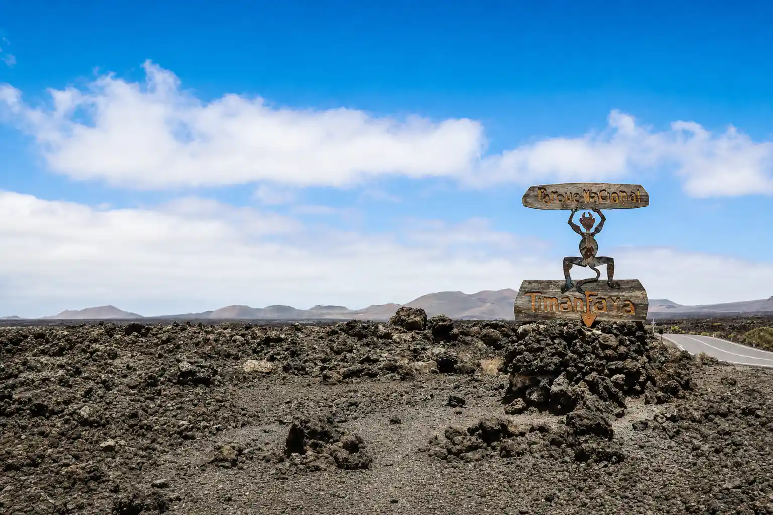
The Mancha Blanca visitor centre stands at Ctra. Tinajo-Yaiza, Km 11,500, in Tinajo, and MITECO places it outside the national park boundary on the road towards Tinajo.[6][9] From the centre, the Taro de entrada gate of Montañas del Fuego is 4.5 km further along the LZ-67.[9] Access points to the park carry signs with César Manrique's El Diablo logo, made from the timber of decommissioned boats.[9]
The park rises from sea level to the Timanfaya and El Señalo massif, whose highest points reach 511 and 507 metres above sea level.[10] The Route of the Volcanoes coach route runs between 251 m and 453 m of altitude, according to the Canary Islands park authority.[11]
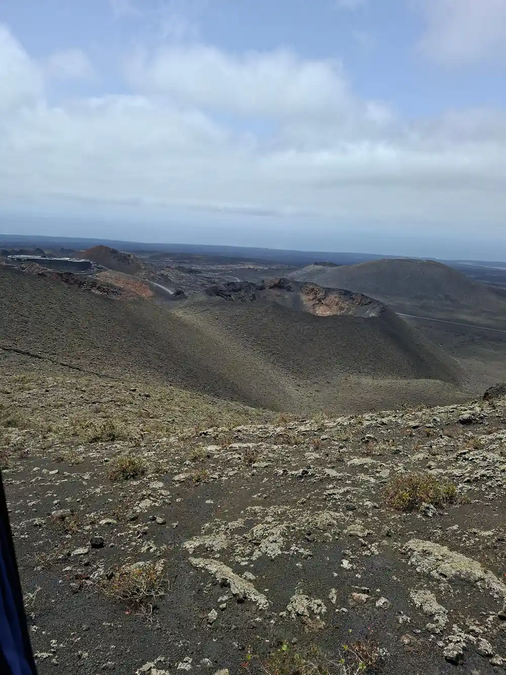
Volcanic cones rise across the red sand of the Timanfaya lava field
How big is Timanfaya National Park?
MITECO's technical sheet gives Timanfaya National Park a total surface area of 5,107.50 hectares.[12] Around it, the Parque Natural de los Volcanes forms a wide protected ring of 10,158.4 hectares, declared in 1994, of which 4,582.7 hectares belong to Yaiza.[8]
Most of the park is lava. MITECO's habitat classification puts the sea of lava at roughly 70% of the park, with its vegetation reduced to a lichen community, and the cones and hornitos at 20% of its surface.[13] The Canary Islands park authority gives the 1730-36 lava field an area of about 174 square kilometres.[14]
Timanfaya was declared a national park on 9 August 1974 and reclassified by law on 25 March 1981.[12] It was designated a Biosphere Reserve in 1993, and the Gobierno de Canarias notes that UNESCO's declaration of 7 October 1993 covers the whole island of Lanzarote.[12][15]
How to get to Timanfaya National Park
No public transport service goes into the national park; bus lines reach Tinajo and Yaiza, and from there a taxi can take you to the points of interest.[7] Intercity Bus Lanzarote's line 16 serves Mancha Blanca, Teleclub Mancha Blanca and in Tinajo, and line 6 serves Uga and at Supermercado, Aljibe and Centro de Salud de Yaiza.[16][17]
By road, Rome2rio gives 20 km, about 26 minutes, from Playa Blanca; 21 km, about 33 minutes, from Puerto del Carmen; and 33 km, about 41 minutes, from Arrecife.[18][19][20] The park authority's route from Arrecife follows the LZ-2 to Yaiza and then the LZ-67 towards Montañas del Fuego and Tinajo.[9]
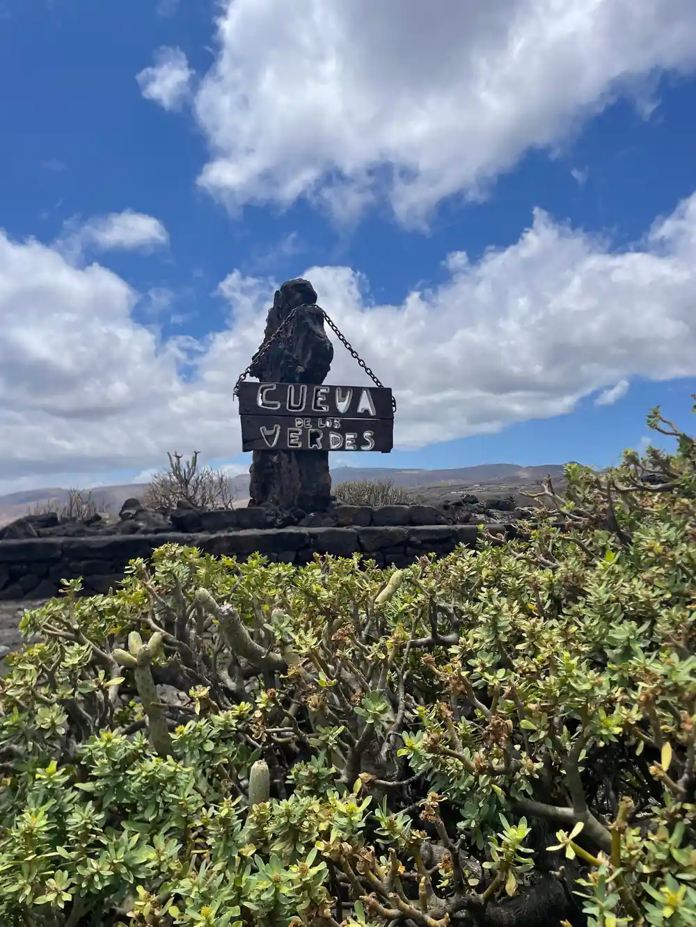
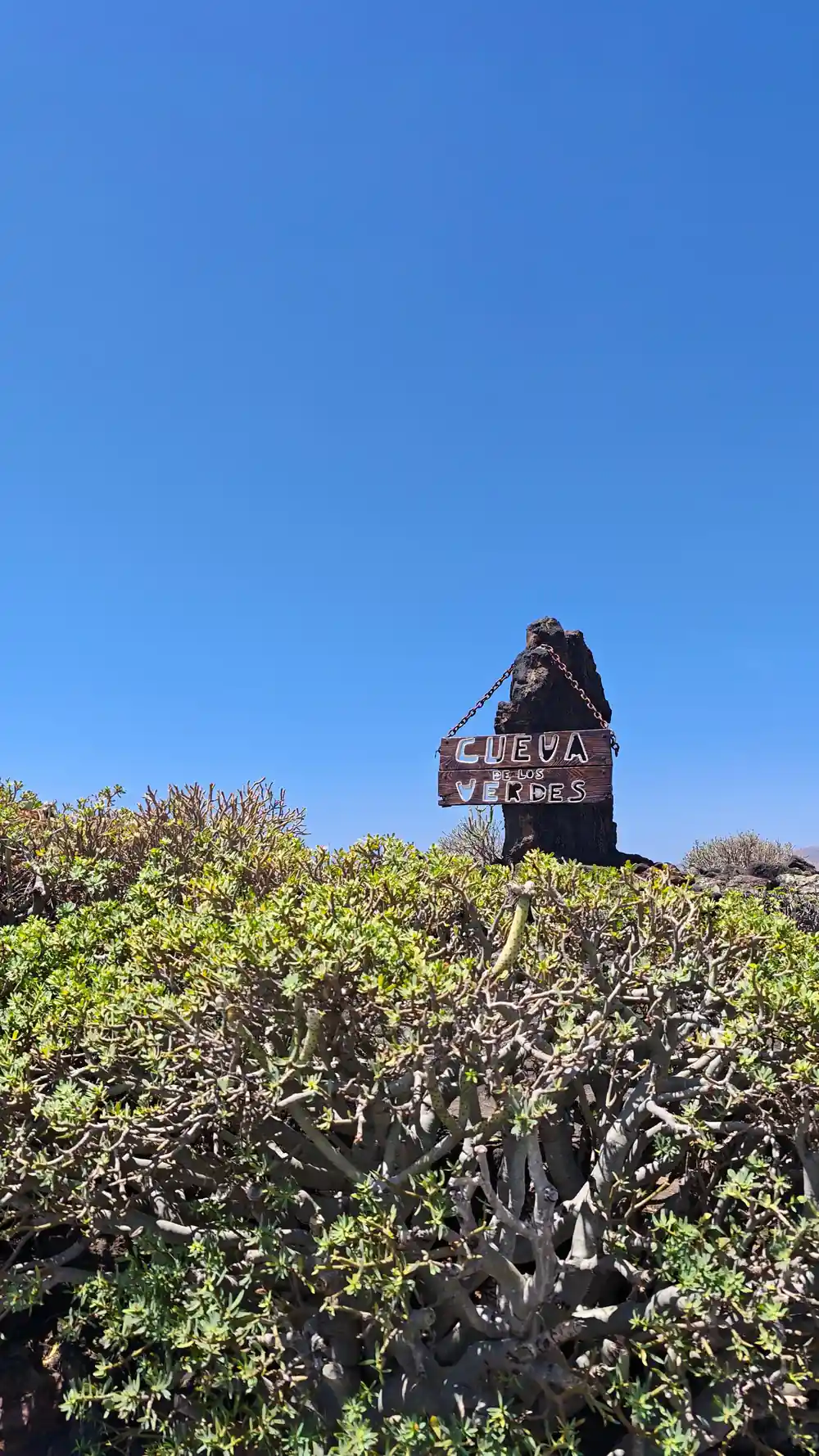
Tours offer another way in. The tour booked from this site lists 61 pickup location options, skip-the-ticket-line entry and 9 hours, with stops at Timanfaya National Park, Cueva de los Verdes and Jameos del Agua, from US$102.[21]
5,107.50 ha
Total surface area of Timanfaya National Park in MITECO's technical sheet, in the municipalities of Tinajo and Yaiza.[7][12]
Can you drive to Timanfaya National Park?
You can drive to the visitor areas, with rules along the way. CACT confirms that all of its centres, including Montañas del Fuego, have parking areas.[22] To preserve the protected national park, CACT asks visitors to remain inside the vehicle from El Taro to the car park on Islote de Hilario.[1]
At that car park, CACT warns drivers to take care opening car doors, as the slope may cause them to hit other vehicles.[1] The park authority reminds anyone hiring a car that it must be left in the Islote de Hilario car park, since the free routes are done on foot and the guided ones on foot or aboard internal buses.[7] CACT states it is not permitted to explore the park freely by car or on foot, to protect its fragile ecosystem.[22]
The access road inside the park is built from the same lava materials as the surrounding area, with no painted road markings, to keep it in unity with the landscape.[9] The park's visit rules invite visitors to travel only on authorised roads and paths.[23]
Can you hike in Timanfaya National Park?
Can you walk in Timanfaya National Park? On set terms. Turismo Lanzarote's advice is that it is not possible to walk over the lava or on other volcanic material, and MITECO permits free access on foot only along the coast, via a path that runs along the park's coastline.[5][9]
The official Tremesana route is a guided walk of 3.5 km and about 3 hours including transfers, of low difficulty, with the meeting point at Plaza de los Remedios in Yaiza 15 minutes before departure.[24] It is compulsorily guided and booked through the OAPN's online central reservations at least 25 to 30 days ahead; groups are small and the service is free.[6][24] Turismo Lanzarote describes the same route as covering some 2 km.[5]
The short coastal route is guided, of medium difficulty, 2 km long and about 2.5 hours, running from El Golfo to near Playa del Paso.[25] The long coastal route is 9.75 km, self-guided with free access and of high difficulty, taking 5 to 6 hours from Playa de la Madera to Punta del Jurado and ending in El Golfo.[26] Caving and outdoor sports are forbidden inside the park.[27]
Can you just turn up to Timanfaya National Park?
Not at Montañas del Fuego. CACT says there are no ticket sales at the box office and tickets must be purchased online in advance, for a fixed date and time.[4][22] When an entry time is not available online, the quota for that slot is already full.[22]
CACT lists the visit from €30.00, with children aged 0-6 free, and the ticket includes a 35-minute coach route, geothermal demonstrations, access to Islote de Hilario and a volcanic landscape viewpoint.[1] Visitors should plan to arrive 15 minutes before their booked time; there are no waiting areas for early arrivals, and arriving outside the slot means the ticket is no longer valid, with no changes or refunds.[22]
CACT's FAQ says reduced rates for Canary Islands residents, Lanzarote residents and people with disabilities are available only at the ticket offices with physical documentation, while its FAQ entry for Montañas del Fuego says that site has no box-office sales.[4][22] The Mancha Blanca visitor centre gives free access to its exhibition and audiovisual programme, according to Turismo Lanzarote.[5]
Heights in the park, metres above sea level
Summits per Vieraea (Universidad de La Laguna); coach route range per the Canary Islands park authority.[10][11]
Price a guided way into Timanfaya
Each amount is that listing's own "from" price in US dollars, and the calculator applies the same listed figure to every traveller.[21][28][29][30]
Hours and deadlines to plan a visit
Visiting Timanfaya park
Check the hours
CACT's ticket page gives Montañas del Fuego 09:30 to 15:45, every day.[1]
Buy a timed ticket online
There are no ticket sales at the box office at Montañas del Fuego.[22]
Arrive 15 minutes early
CACT asks visitors to arrive 15 minutes before the time in their booking.[22]
Drive to Islote de Hilario
Stay inside the vehicle from El Taro to the Islote de Hilario car park.[1]
Ride the Route of the Volcanoes
The ticket includes a 35-minute coach route and geothermal demonstrations.[1]
Skip the ticket line on a guided Timanfaya day
from US$103Reserve now & pay later