The essentials
- CACT states the Timanfaya eruptions lasted six years, from 1730 to 1736, and MITECO says they affected a quarter of Lanzarote's surface.[1][2]
- The park authority gives the lava field as about 174 km², and scientists estimate the eruption emitted about 1 km³ of lava.[2][3]
- IGME puts more than 600°C at 13 metres below Islote de Hilario, above a residual magma chamber about 2 to 4 km down.[4]
- In 1824 three volcanoes appeared: Tao, Volcán Nuevo del Fuego and Tinguatón. The westernmost, Volcán Nuevo del Fuego, also called Chinero, lies inside today's park with its lava flows.[2][3]
- Lichens are almost the only living things able to colonise the lava directly, and on the sea of lava, about 70% of the park, they are nearly all the vegetation.[5][6]
| 1730-1736 | 1824 | Today | |
|---|---|---|---|
| What erupted | Dozens of cinder cones in the west[3] | Tao, Volcán Nuevo del Fuego, Tinguatón[2] | Latent activity, heat at Islote de Hilario[1][7] |
| Duration | Six years[1] | 31 July to about 25 October[2] | Studied by CSIC teams since the 1980s[8] |
| Area | A sea of lava of about 174 km²[3] | Chinero's lava flows lie inside the park[3] | A park of 5,107.50 hectares[9] |
| What it left | A quarter of the island affected[2] | The cones of Tao, Chinero and Tinguatón[3] | More than 25 craters around Islote de Hilario[1] |
on 11 September 1730 the eruption renewed with more force, and lava from Santa Catalina fell on the village of Mazo, burning and covering it entirely before running to the sea for six straight days with a terrifying noise
Timanfaya National Park is one of the most impressive volcanic landscapes in the world
What the eruptions left for a visitor to see
Before setting off
Inside the park
The night the ground opened in 1730
MITECO publishes the eyewitness record of how it started. On 1 September 1730, between nine and ten at night, the earth suddenly opened near Timanfaya, two leagues from Yaiza. On that first night a huge mountain rose from the ground, and flames escaped from its top for nineteen days.[2]
The best-known written account is the manuscript of Don Andrés Lorenzo Curbelo, the parish priest of Yaiza. It narrates events from the start of the eruption until the people of the area emigrated between 1731 and 1732, as the volcanic activity carried on.[2]
The Lanzarote Film Commission places the Volcán del Cuervo, which it calls the first of the Timanfaya eruptions, between Mozaga and Uga in the heart of the Protected Landscape of La Geria.[13] At the Mancha Blanca visitor centre, an elevated walkway crosses lava flows that reached farmland during the 1730-36 eruptions, and a simulation room recreates the sensations felt by the people living here when they happened.[14]
The villages lost under the lava
On 7 September a large rock rose from the ground with a noise like thunder, and its pressure forced the lava, which had been flowing north, to turn towards the northwest and west-northwest. The lava reached the villages of Maretas and Santa Catalina, in the valley, and destroyed them in an instant.[2]
On 11 September the eruption renewed with more force. Lava ran from Santa Catalina down onto Mazo, set the whole village alight and covered it, then carried on to the sea, flowing for six days in a row with a terrifying noise and forming real waterfalls of lava.[2] Where it met the sea, large numbers of dead fish floated on the surface and washed up on the shore.[2]
On 18 October three new openings formed just above Santa Catalina. Thick smoke poured from them and spread across the whole island, with large amounts of scoria, sand and ash falling all around.[2]
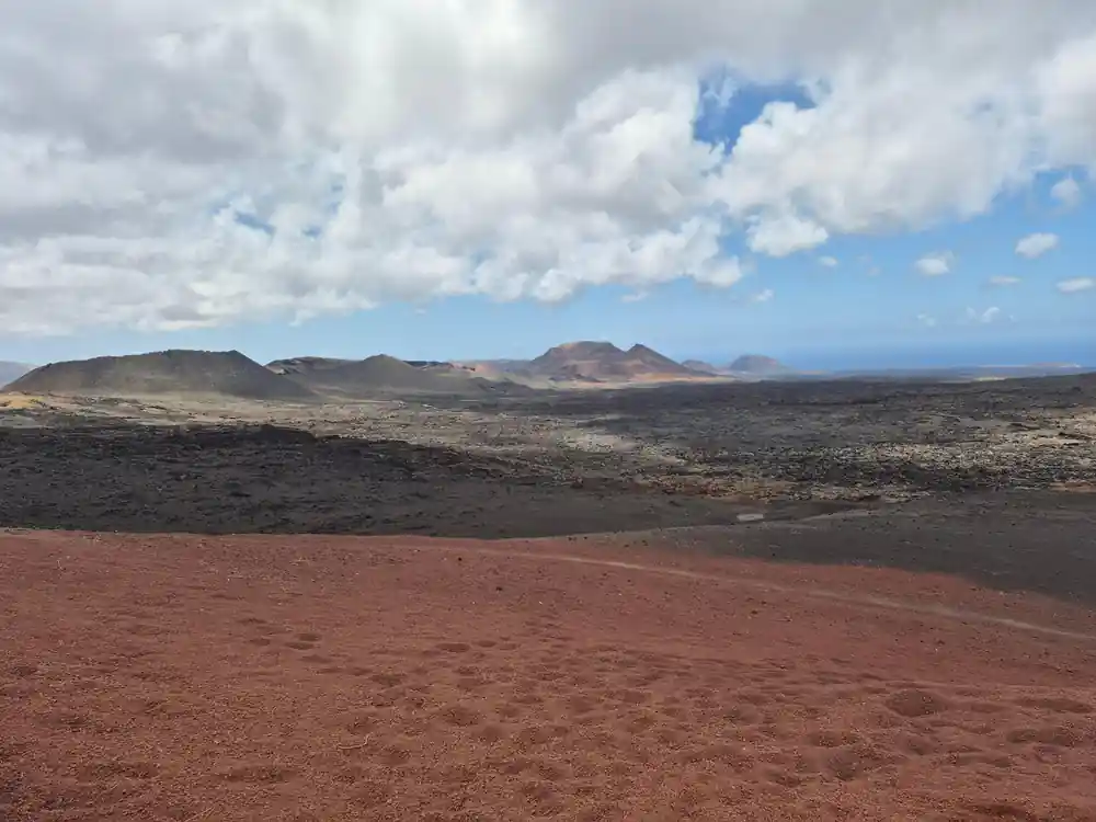
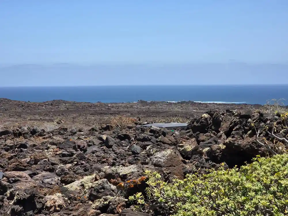
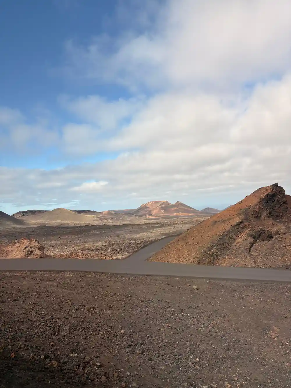
Dark lava fields run out towards the sea below Timanfaya's craters
How big the eruptions were
CACT states the eruptions lasted six years, between 1730 and 1736, and transformed an essential part of Lanzarote.[1] MITECO's history says they affected a quarter of the island's surface, and Turismo Lanzarote says they forever transformed the centre-west of Lanzarote.[2][7]
The Canary Islands park authority describes dozens of cinder cones across a part of the west of the island that was buried under a sea of lava of about 174 km², and says the eruptions also gained new land from the sea.[3] Scientists have estimated that the volume of lava may have reached 1 km³, or 1,000 million m³, completely changing the island's earlier shape.[2]
UNESCO names Timanfaya the most significant of nearly seventy geosites in the Lanzarote and Chinijo Islands Geopark, home to one of the largest historic lava fields in the world.[15] The park authority classes the whole series as an effusive phase of fairly fluid basaltic lava flows, broken by more violent strombolian phases.[3]
What Timanfaya National Park lava looks like
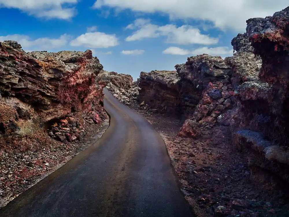
MITECO describes the sea of lava as a vast surface of different lava types, irregular and full of caves, tubes and cavities.[6] It separates two main textures. The very viscous aa lava cools into a rough, jagged surface that cannot be crossed, known as malpaís.[16] The more fluid pahoehoe gives a smooth surface, or one twisted into the ropy folds called cordadas.[16]
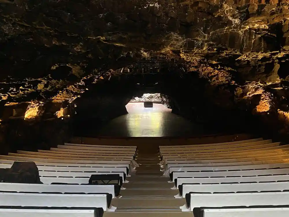
Hornitos are secondary vents that pushed out lava and gas without building a large volcano, and the park's most characteristic one is the Manto de la Virgen.[16] Lava tubes formed where rivers of fluid lava hardened on top but kept flowing inside, and where part of a tube's roof collapsed it left an opening called a jameo.[16]
Cinder cones belong to a volcano's strombolian phase and are not always symmetrical, because the tilt of the vent or the wind can pile the fragments up on one side.[3] The small ash stones of 2 to 20 mm are lapilli, known in the Canary Islands as picón and in Lanzarote as rofe, while volcanic bombs are fragments of lava that set in mid-air as they spin, which gives them a spindle shape.[3]
174 km²
The approximate area of the sea of lava left in the west of Lanzarote by the 1730 to 1736 eruptions.[1][3]
Is Timanfaya still active?
Turismo Lanzarote describes a territory that today harbours a unique latent volcanic activity in Europe.[7] On the Islote de Hilario, CACT says, geothermal activity shows that the subsoil still holds part of the earth's heat.[1]
IGME explains that heat by a residual magma chamber about 2 to 4 km down.[4] Its figures differ within one page: the description gives about 250°C at the surface and more than 600°C at 13 metres, while the scientific-interest section gives 100 to 120°C at the surface and 610°C at 13 metres.[4] Geoparque Lanzarote gives the same 250°C and 600°C figures as IGME's description.[17]
The park authority names the most important spots where surface temperatures exceed 100°C as Islote de Hilario, Casa de los Camelleros and the floor of the Timanfaya crater.[3] Since the 1980s, CSIC research teams have continuously studied the seismic, volcanic and geodesic side of the park, work that led to the Laboratorio Geodinámico de Lanzarote, whose park module is built into the Casa de los Camelleros.[8]
The eruption of 1824
A second wave came in the 19th century. MITECO dates its start to 31 July 1824 at the Tao volcano, and says the volcanic activity ceased around 25 October of that same year.[2]
Three volcanoes appeared: Tao, Volcán Nuevo del Fuego and Tinguatón, whose activity was described by Don Baltasar Perdomo, the parish priest of San Bartolomé.[2] The Canary Islands park authority also calls Volcán Nuevo del Fuego by the name Chinero, and states that this westernmost cone and its lava flows lie within the national park's boundaries.[3]
The park the eruptions made
Timanfaya was declared a National Park on 9 August 1974 and covers 5,107.50 hectares, according to MITECO's fact sheet, which also records its reclassification by a law of 25 March 1981 and its designation as a Biosphere Reserve in 1993.[9] The Ayuntamiento de Yaiza says 2,901 hectares of it, more than half of the park, lie within its municipality.[18] Its highest points are Timanfaya at 511 metres and El Señalo at 507 metres above sea level.[5]
Lichens are almost the only organisms able to colonise the lava directly, and on the sea of lava, roughly 70% of the park, the vegetation is reduced to a lichen community covering the rock.[5][6] The steep cones and hornitos, about 20% of the park, carry only lichens too, and their inaccessibility makes them one of the birds' preferred nesting places.[6]
The eruptions also shaped the coast. The Ayuntamiento de Yaiza says the caves and blowholes of Los Hervideros formed in the 1730-1736 eruptions and were sculpted by erosion, and that the Janubio lagoon formed when the 1730-36 eruptions cut it off from the sea behind a sand bar.[18] Inside the park, CACT says Timanfaya's geological conditions have been used to prepare part of astronauts' training before planetary expeditions.[1]
How high Timanfaya's ground rises
Heights above sea level: the two summits from a University of La Laguna study, the coach route range from the Canary Islands park authority.[5][19]
Price a Timanfaya tour for your group
Each amount is that listing's own "from" price in US dollars, and the calculator applies the same listed figure to every traveller.[20][21][22]
The eruptions, date by date
Reading the lava on a visit
Ride the Route of the Volcanoes
The general ticket includes a 35-minute coach route through the park.[1]
Watch the artificial geyser
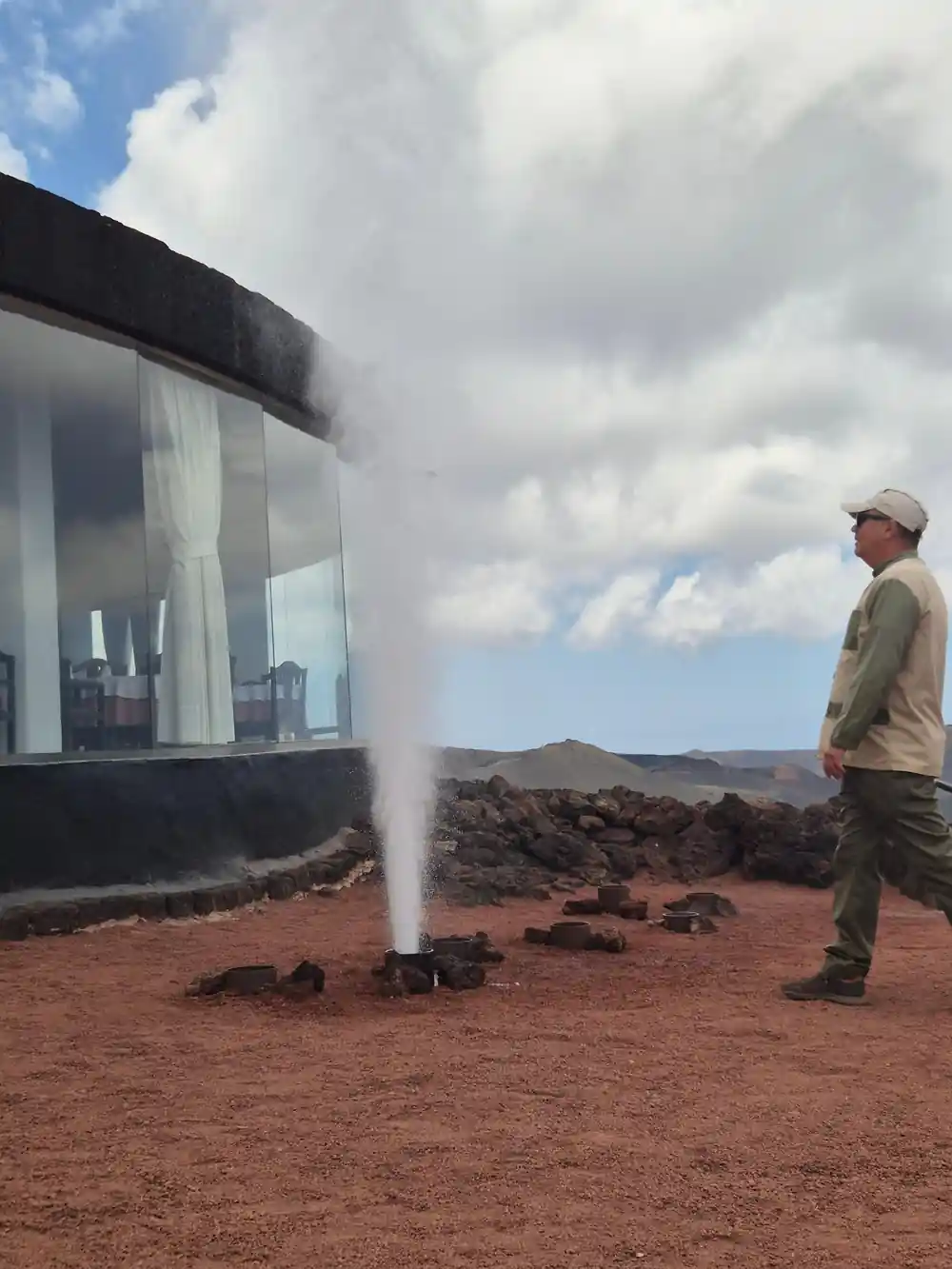
At Islote de Hilario, cold water poured into boreholes produces an artificial geyser.[4]
See plants catch fire
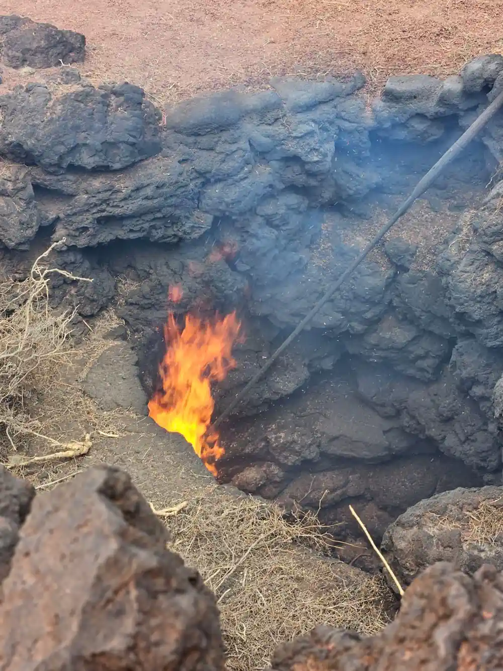
Plants placed in a hole there burn from the heat of the ground.[4]
Count the craters
More than 25 craters sit within a few square kilometres around Islote de Hilario.[1]
Go inside a lava tube
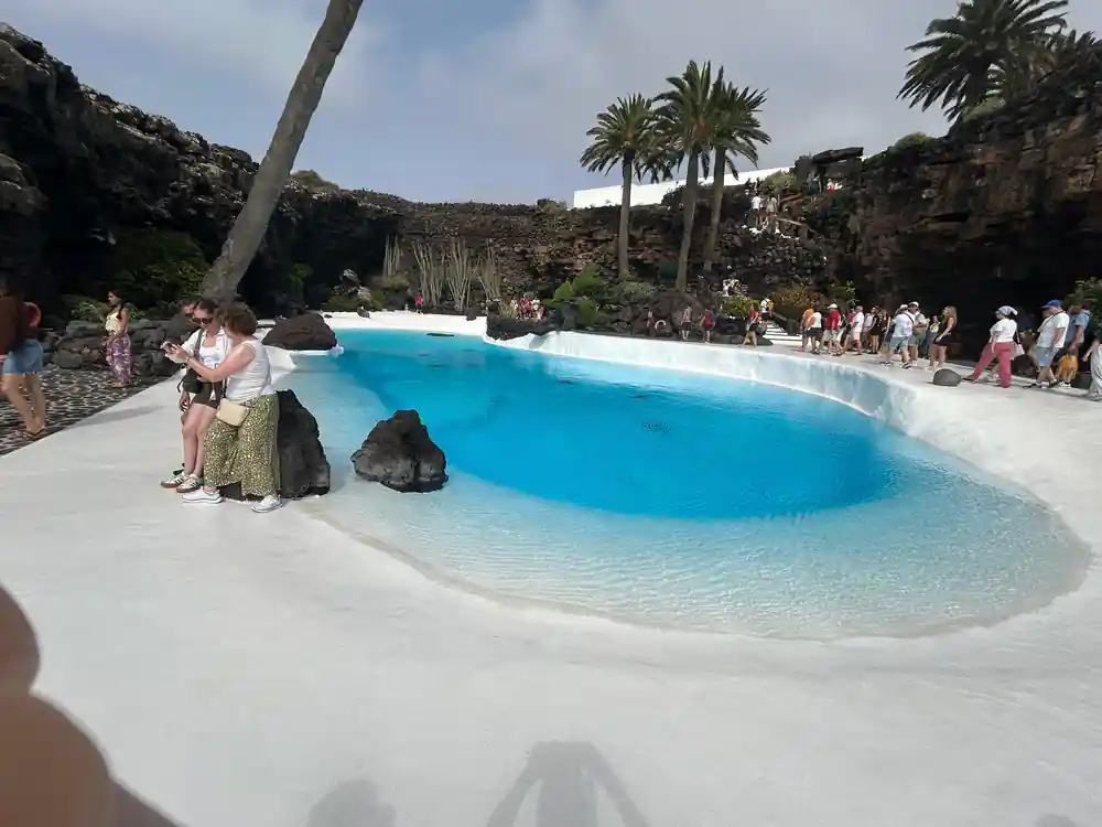
The tour booked from this site lists Cueva de los Verdes and Jameos del Agua after Timanfaya National Park.[20]
See the ground the 1730 eruptions made
from US$103Reserve now & pay later