The essentials
- CACT recommends comfortable clothing and footwear for the Montañas del Fuego visit, whatever the season.[1]
- Between June and September CACT advises a cap or sun protection; AEMET records 2,986 sunshine hours a year at Lanzarote Airport.[1][7]
- Between October and April, warm clothing is recommended, as Montañas del Fuego is a windy area.[1]
- Cueva de los Verdes has uneven paths, stairs, narrow spaces and low ceilings along its route.[5]
- The park's visit rules ask visitors to avoid drones, kites and balloons, to protect wildlife and the environment.[19]
| Strong sun | Wind | Walking | |
|---|---|---|---|
| Conditions | 2,986 sunshine hours a year[7] | A windy area, per CACT[1] | Uneven paths, stairs, low ceilings[5] |
| Essentials to pack | A cap or sun protection[1] | Warm clothing[1] | Comfortable footwear, per CACT at Montañas del Fuego[1] |
| When or where | June to September[1] | October to April[1] | Cueva de los Verdes[5] |
| Measured detail | August mean daily max 29.1°C[7] | Climate softened by the trade winds[3] | Cave visit of about 50 minutes[5] |
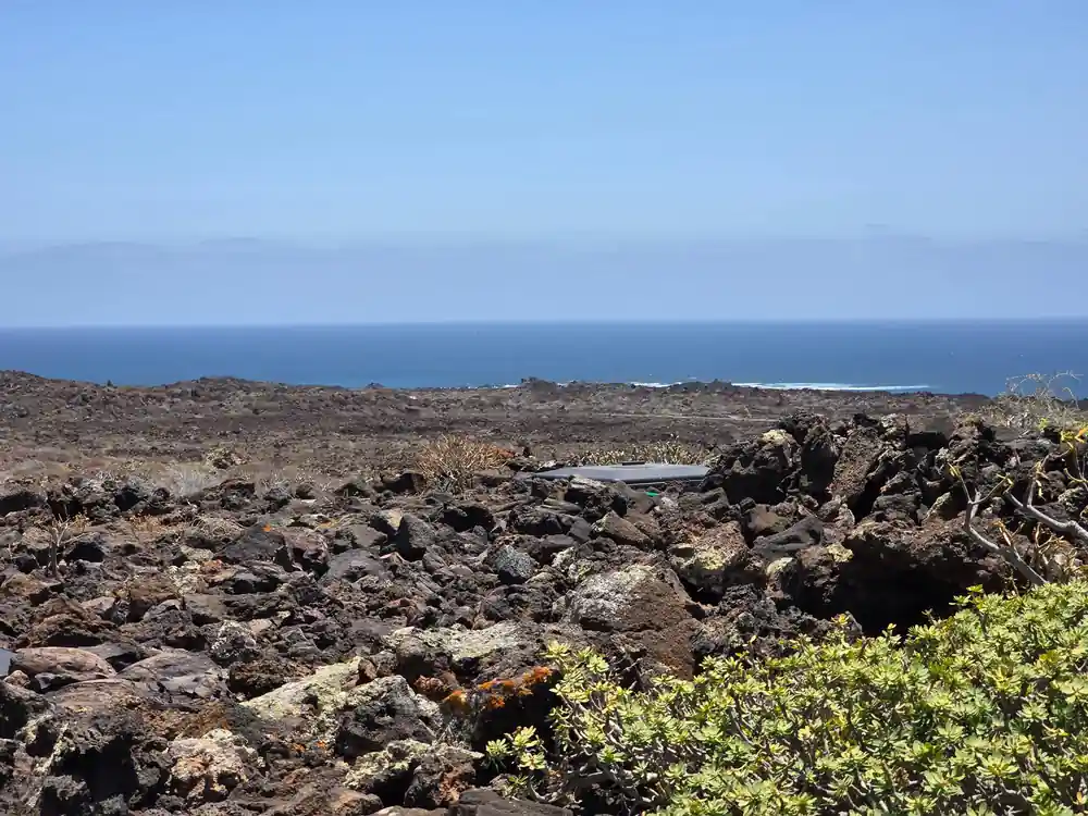
The lake forms as seawater filters through fissures in the volcanic tube. Its level follows the tides and can reach the access walkway during spring tides.
What to wear for a Timanfaya day, in short
Wear
What CACT tells visitors to wear
CACT's visitor guide for Montañas del Fuego keeps its clothing advice short: comfortable clothing and footwear are recommended.[1] In summer, between June and September, a cap or sun protection is advisable, and in winter, between October and April, warm clothing is recommended, as this is a windy area.[1]
Turismo Lanzarote states that the island has a warm climate throughout the year, with an average annual temperature of about 21°C.[2] It also describes scarce rainfall and sun that shines for practically the whole year.[2] Research published in Vieraea, from the Universidad de La Laguna, classes the park's own climate as arid and subdesert-type, though much softened by the trade winds and the closeness of the sea.[3]
On the tour booked from this site, the day runs 9 hours and takes in Timanfaya National Park, Cueva de los Verdes and Jameos del Agua, with a live guide in English, French, German or Spanish.[4] CACT lists Cueva de los Verdes at 09:30 to 16:45 and Jameos del Agua at 10:00 to 18:00, every day.[5][6]
Sun: the figures behind the cap
AEMET's 1981-2010 climate normals for the Lanzarote Airport station give an annual mean temperature of 21.1°C, a mean daily maximum of 24.8°C and a mean daily minimum of 17.4°C.[7] The same station averages 2,986 hours of sunshine a year and 72.5 cloudless days.[7] The station sits at the airport, which Rome2rio puts 28 km by road from Timanfaya National Park.[8]
The normals give August an average daily maximum of 29.1°C, with essentially no rainfall.[7] That month sits inside CACT's summer window of June to September, the months when it advises a cap or sun protection at Montañas del Fuego.[1]
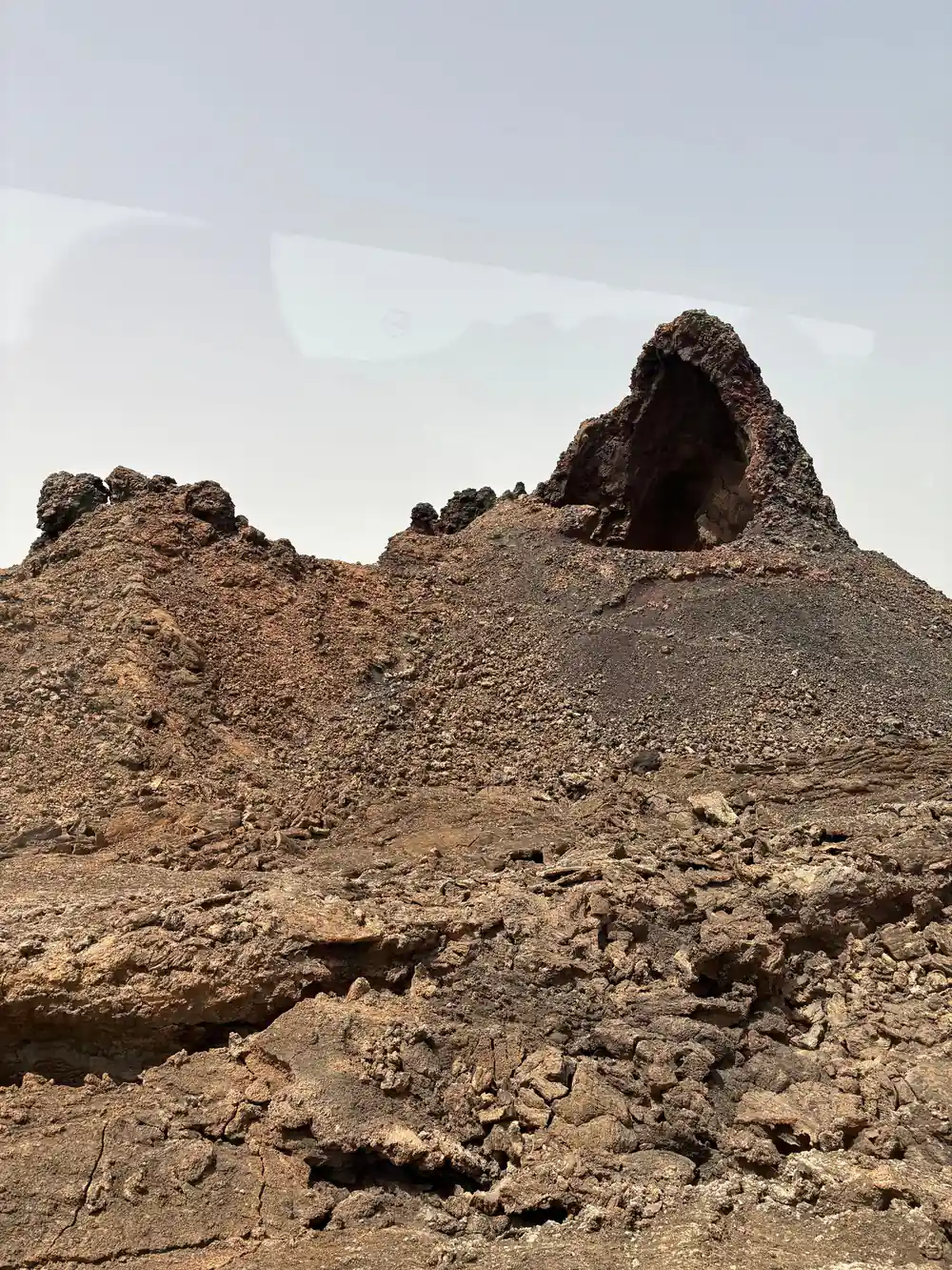
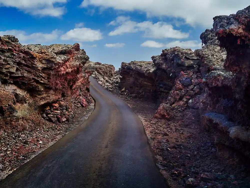
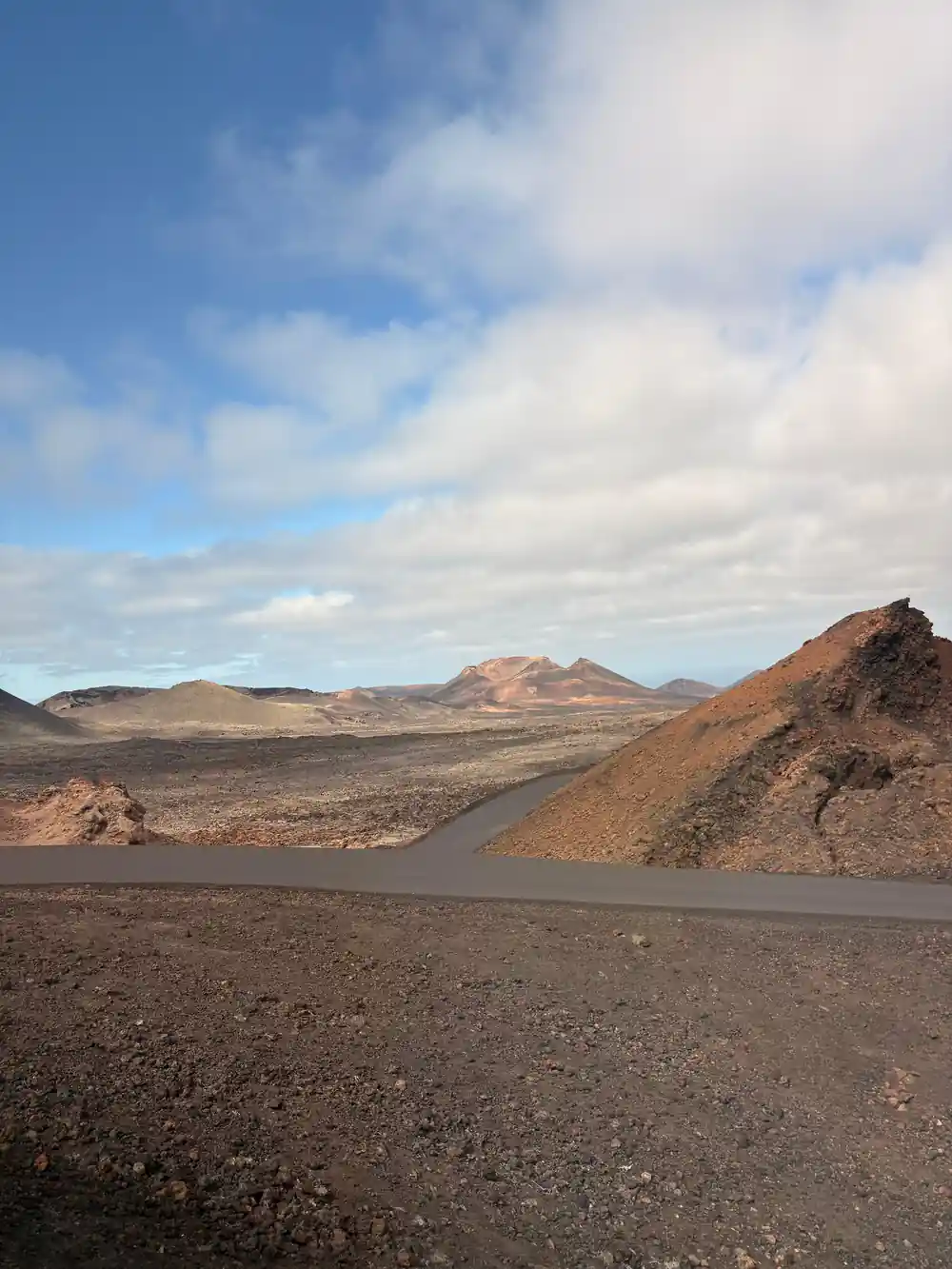
Red cinder slopes and dark lava fields under a clear Lanzarote sky
Wind, rain and winter layers
CACT gives the wind as its reason for warm clothing between October and April: its guide calls Montañas del Fuego a windy area.[1] In AEMET's normals, December is the wettest month on average at Lanzarote Airport, with 29 mm of rain, while staying mild at an 18.6°C mean temperature.[7]
Across the whole year, the station's average rainfall is just 111 mm, falling on an average of 19 days with 1 mm or more.[7] Average relative humidity there is 68%.[7]
Footwear for lava ground and walking routes
Turismo Lanzarote's visitor advice is that it is not possible to walk over the lava or on other volcanic material, and CACT states the park cannot be explored freely by car or on foot, to protect its fragile ecosystem.[9][10] On the road to Islote de Hilario, CACT asks visitors to remain inside the vehicle from El Taro to the car park.[1]
MITECO describes two main lava types in the park. Very viscous aa lava cools into the rough, jagged, impassable surface known as malpaís, while the more fluid pahoehoe lava leaves a smooth or slightly rough surface that can form the ropy texture called cordadas.[11]
The park authority's walking routes each set their own demands. The Tremesana route is a guided linear walk of 3.5 km and about 3 hours, of low difficulty and accessible to most walkers over 16.[12] The short coastal route, guided and of medium difficulty, runs 2 km from El Golfo towards Playa del Paso in about 2.5 hours, while the long coastal route is 9.75 km, self-guided, of high difficulty and 5 to 6 hours.[13][14] In the Parque Natural de los Volcanes that surrounds the national park, the Montaña Colorada circular route is a 3 km loop of about 1 hour, with no technical difficulty, some slopes and a 53 m height difference.[15][16]
2,986
Hours of sunshine a year in AEMET's 1981-2010 normals for the Lanzarote Airport station.[7]
Cave paths and the Jameos del Agua walkway
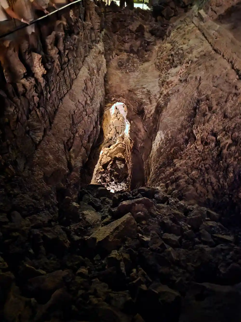
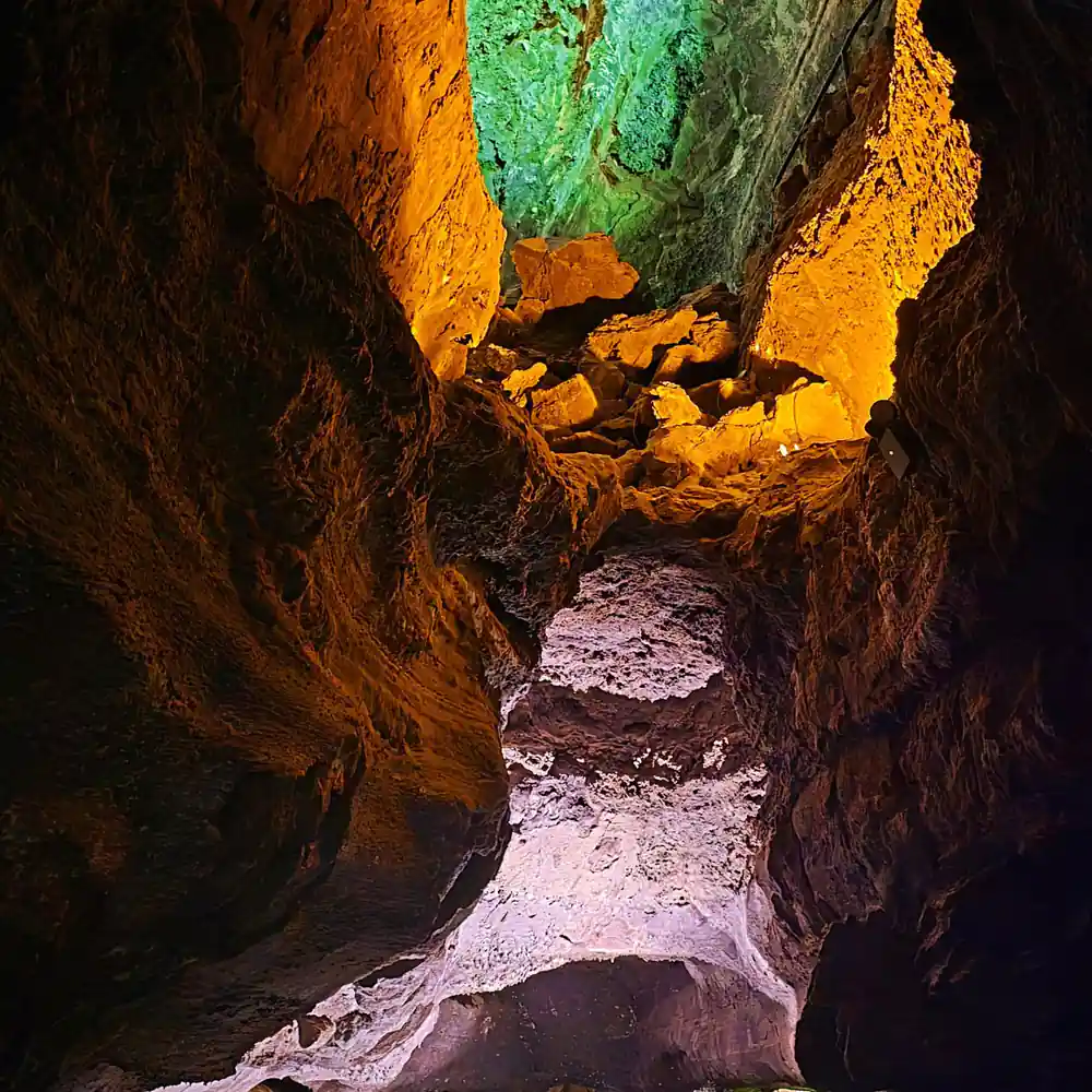
At Cueva de los Verdes, CACT describes a route of uneven paths, stairs, narrow spaces and low ceilings, and says it is not accessible to people with reduced mobility and is not recommended for people with claustrophobia.[5] The lava conduit extends for more than seven kilometres, and the guided visit takes about 50 minutes.[5]
At Jameos del Agua, CACT explains that the lake forms as seawater filters through fissures in the volcanic tube, and that its level follows the tides and can reach the access walkway during spring tides.[6] CACT lists the general visit at 60 to 120 minutes, with the site open 10:00 to 18:00 every day.[6]
In the Jameo Grande, the darkness of the cave opens onto an outdoor garden with palm trees, fig trees and cacti, and a white pool.[6] Visitors are asked not to throw coins or other objects into the water, to protect the habitat of the endemic Munidopsis polymorpha.[6]
Islote de Hilario: heat and craters
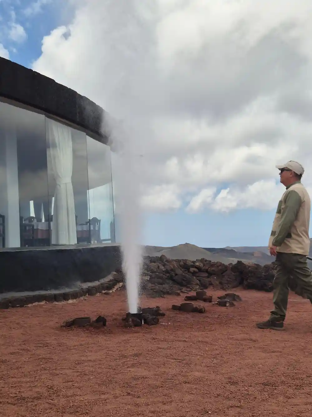
IGME's geosite page for Islote de Hilario gives two surface temperatures: about 250°C in its description, and between 100 and 120°C in its scientific-interest section, with more than 600°C at 13 m depth.[17] IGME explains the geothermal anomaly by a residual magma chamber at around 2 to 4 km depth.[17]
CACT's general ticket includes the geothermal demonstrations, and IGME describes two of them: artificial geysers made by pouring cold water into boreholes, and plants placed in a hole to watch them burn.[1][17] At El Diablo restaurant, the grill sits above a five-metre well where the earth's natural temperature reaches around 250 degrees.[1]
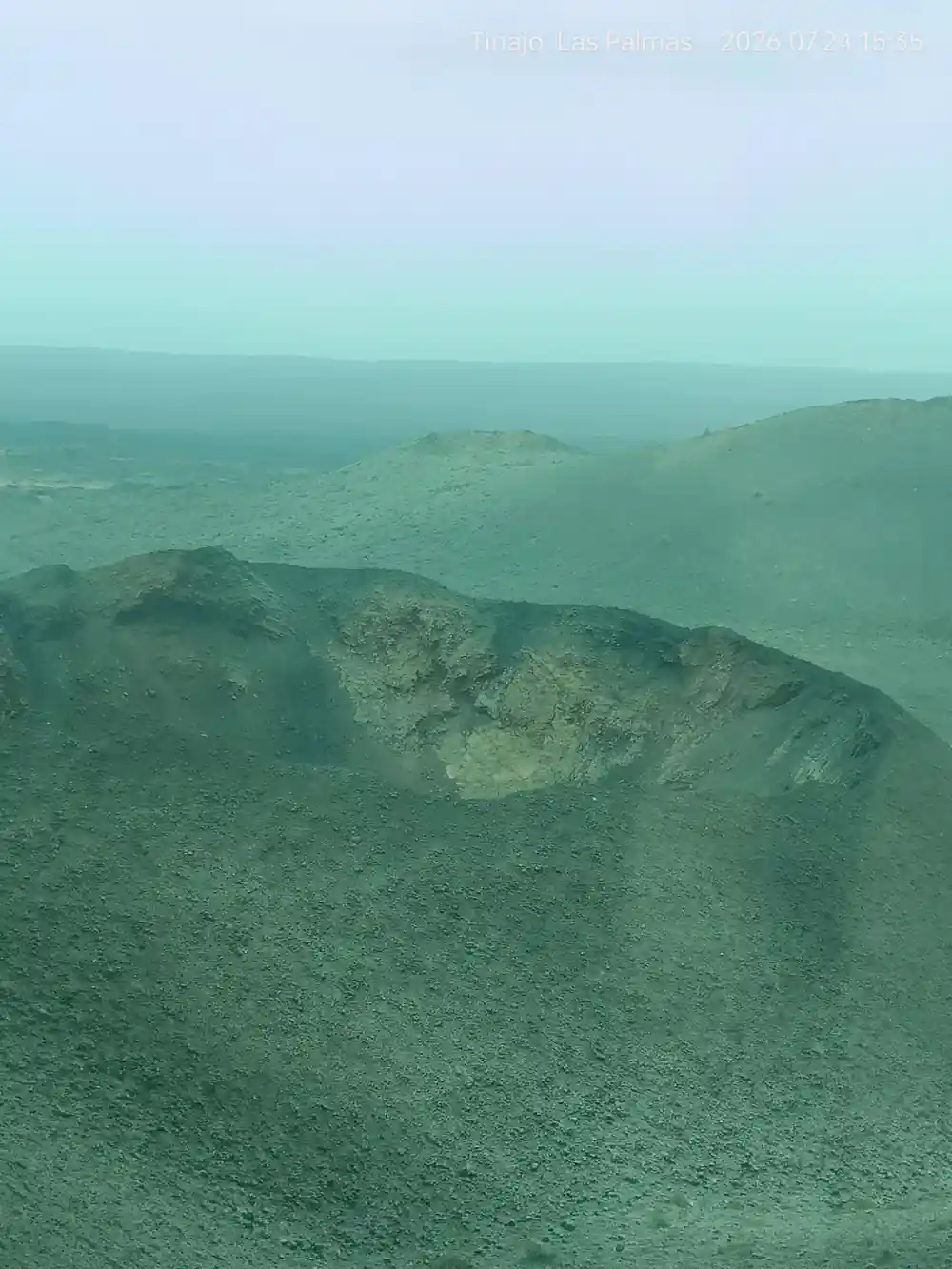
From Islote de Hilario, CACT says, the view opens onto a sea of lava with more than 25 craters concentrated in just a few square kilometres.[1] The park reaches its highest points at Timanfaya and El Señalo, at 511 and 507 metres above sea level, from a base at sea level.[3]
Cameras, drones and what stays behind
CACT's guide recommends photographing the geyser area, the natural oven, the Devil figure and the Route of the Volcanoes.[1] Professional photography, video, film or TV work inside the park requires a special permit, requested at the national park's own offices.[18]
The park's visit rules ask visitors to avoid drones, hang-gliders, parachutes, kites, balloons and fireworks, to protect wildlife and the environment.[19] Spanish law bans overflight below 3,000 metres above the ground over any Spanish national park without express authorisation or force majeure.[20] Collecting plants, animals or rocks of any kind or size is forbidden inside the park.[18]
For families, CACT says access with a pushchair can be difficult and recommends bringing a baby carrier; its restaurant and cafeteria have high chairs.[1] Pets are not allowed at Montañas del Fuego, except assistance dogs under the Canary Islands' Law 3/2017 of 26 April.[1]
Average daily maximum at Lanzarote Airport
Mean of daily maximum temperatures, AEMET 1981-2010 normals for the Lanzarote Airport station.[7]
Price a Timanfaya tour for your group
Each amount is that listing's own "from" price in US dollars, and the calculator applies the same listed figure to every traveller.[4][21][22][23]
When the clothing advice changes
Dressing for Timanfaya
Check the season
CACT splits its advice into summer, June to September, and winter, October to April.[1]
Start with comfortable footwear
CACT recommends comfortable clothing and footwear for Montañas del Fuego.[1]
Add sun protection in summer
A cap or sun protection is advisable between June and September.[1]
Pack a warm layer in winter
Between October and April warm clothing is recommended, as this is a windy area.[1]
Be ready for the cave route
Cueva de los Verdes has uneven paths, stairs, narrow spaces and low ceilings.[5]
Book the Timanfaya day tour and dress for the volcanoes
from US$103Reserve now & pay later