The essentials
- One academic hypothesis holds that the Ti- in Timanfaya, Time and Timagada denotes a cliff, precipice or chasm.[1]
- The Cabildo de Lanzarote's tourist centre, reached through the Taro de entrada gate on the LZ-67.[5]
- In Lanzarote, older lava surfaces not covered by recent flows are called islotes; internationally they are kipukas.[8]
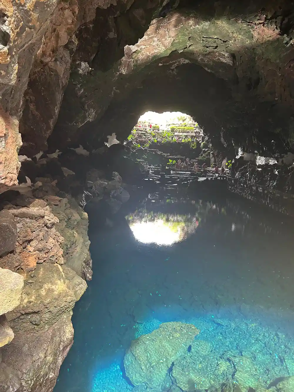
- An opening formed where part of a lava tube's roof collapses from instability.[11]
- The 1730 eruption began near Timanfaya, two leagues from Yaiza, and its best-known account is by Yaiza's parish priest.[2]
| Timanfaya | Montañas del Fuego | Islote de Hilario | |
|---|---|---|---|
| About the name | Ti- may mean cliff or chasm, one hypothesis[1] | The Cabildo's tourist centre[5] | Legend of Hilario, honoured inside El Diablo[6] |
| Where | High point of the massif, 511 m[3] | Gate 2.5 km past the camel station[5] | Main core of Montañas del Fuego[9] |
| What you see | One of the largest historic lava fields[12] | 35-minute coach route, geothermal demos[6] | More than 25 craters in a few square km[6] |
| Heat | Crater floor above 100°C[4] | Craters that reflect the earth's heat[6] | Surface 100-120°C or about 250°C, per IGME[10] |
on 1 September 1730, between nine and ten at night, the earth suddenly opened near Timanfaya, two leagues from Yaiza
Which of the named places to see, and how
Words to know
Places to know
Timanfaya: what the name may mean
Timanfaya is one of several Canarian place names that begin with Ti-. One academic hypothesis, reported by eldiario.es, holds that this element denotes a cliff, precipice or chasm, and it lists Time and Timagada alongside Timanfaya as examples.[1] It is a hypothesis about the name, not a settled translation.[1]
The name also appears in the eyewitness account MITECO publishes, which records that on 1 September 1730, between nine and ten at night, the earth suddenly opened near Timanfaya, two leagues from Yaiza.[2]
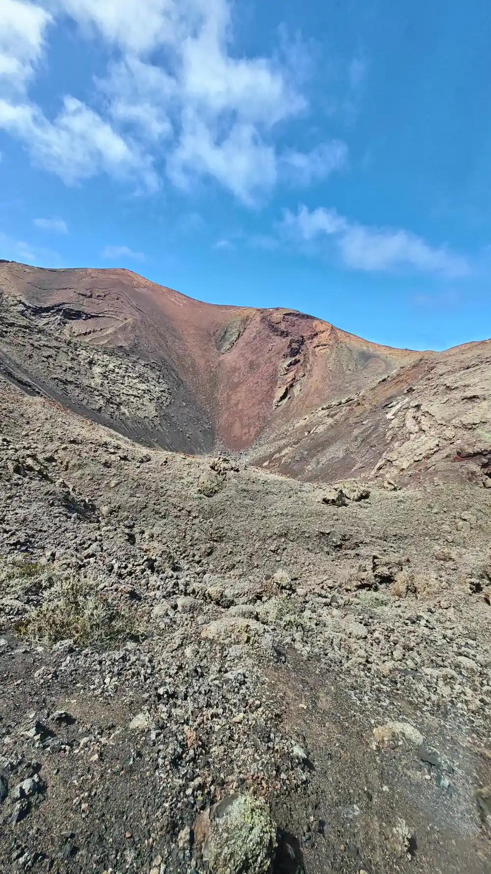
Today the name marks the park's high ground. A University of La Laguna paper gives the highest points of the massif as Timanfaya and El Señalo, at 511 and 507 metres above sea level.[3] The floor of the Timanfaya crater is one of the park's most important geothermal anomalies, with surface temperatures above 100°C, per the Canary Islands park authority.[4]
Montañas del Fuego, the visitor centre on the lava
Montañas del Fuego is the name of the Cabildo de Lanzarote's tourist centre. MITECO places its entrance gate, the Taro de entrada, 2.5 km along the LZ-67 from the Echadero de los Camellos when coming from Yaiza, and 4.5 km from the Mancha Blanca visitor centre when coming from Tinajo.[5]
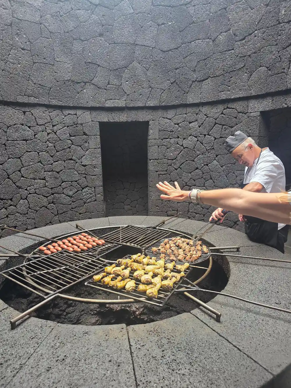
CACT, the Cabildo's network of centres, lists the Montañas del Fuego and Route of the Volcanoes visit from €30.00, open every day of the year, with tickets sold online in advance and no box-office sales.[6][7] The ticket includes a 35-minute coach route and the geothermal demonstrations at Islote de Hilario.[6]
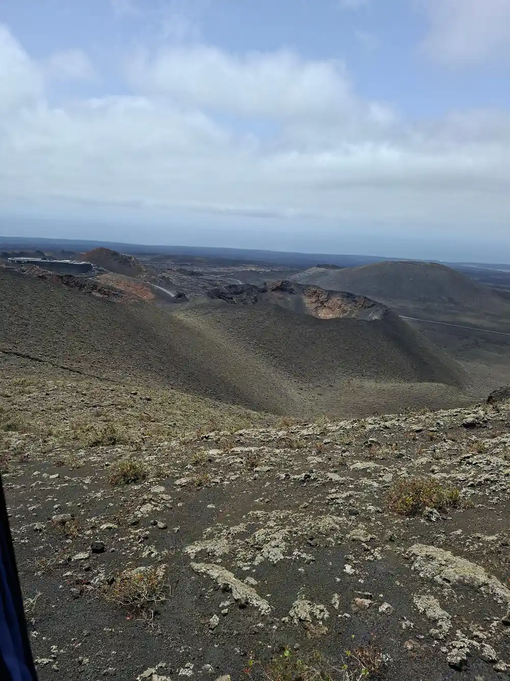
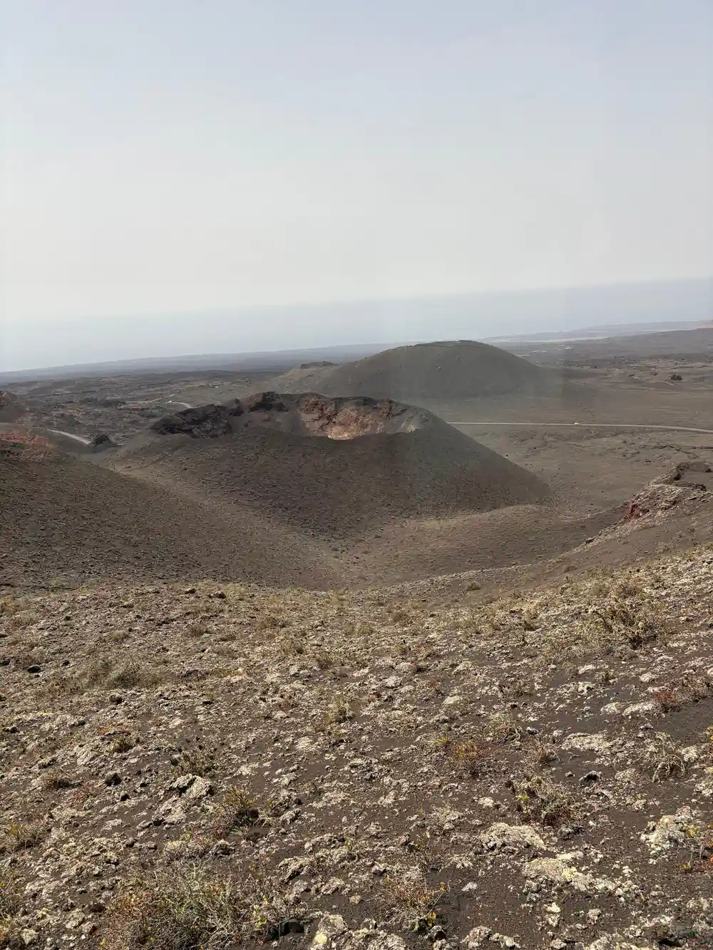
CACT describes the place as craters, lava flows and lunar-like landscapes that reflect the heat of the earth, and says the Route of the Volcanoes coach tour was conceived by César Manrique.[6]
Cinder cones of the Montañas del Fuego rise from the sea of lava
Islote de Hilario, islotes and kipukas
The word islote has a technical meaning in the park. MITECO explains that older lava surfaces not covered by more recent flows are usually called islotes in Lanzarote, and are known internationally as kipukas.[8] The tabaibal of El Mojón grows on such older surfaces, with 75-80% plant cover.[8]
Islote de Hilario is the main core of Montañas del Fuego, with a car park, cafeteria, restaurant, souvenir shop and restrooms.[9] CACT says the view from it opens onto a sea of lava with more than 25 craters concentrated in just a few square kilometres.[6] Inside El Diablo restaurant, a small glazed garden called the Jardín Muerto pays tribute to the legend of Hilario, with a dromedary skeleton and a burned tree trunk on volcanic ash.[6]
IGME's geosite page gives two surface temperatures for Islote de Hilario: about 250°C in its description and 100 to 120°C in its scientific-interest section, with more than 600°C at 13 metres depth.[10]
Jameo, malpaís, rofe: the volcanic vocabulary
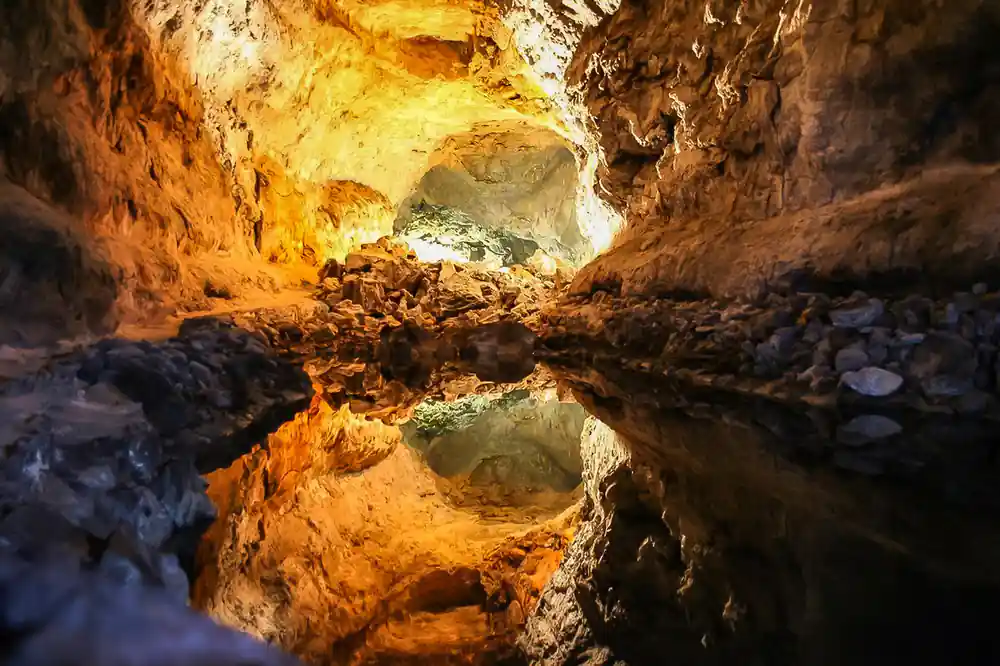
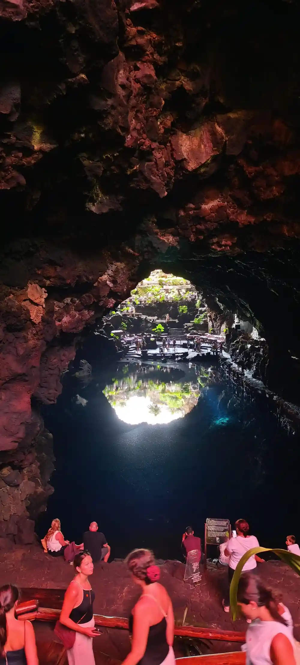
A jameo is a volcanic word you will meet at the caves. MITECO explains that lava tubes form when rivers of fluid lava harden on the surface while lava keeps flowing inside, and that part of a tube's roof sometimes collapses from instability, leaving openings called jameos.[11] UNESCO describes the La Corona tube as a 7.6 km structure with various access points known as jameos.[12]
MITECO names two kinds of lava. It describes aa lava as very viscous, cooling into a rough, jagged, impassable surface known as malpaís, and pahoehoe lava as more fluid, with a smoother surface that can form ropy cordadas.[11] Hornitos are secondary vents that expelled lava and gas without building a large volcano, and the park's most characteristic one is called the Manto de la Virgen.[11]
The small stones of solidified ash, between 2 and 20 mm across, have three names: lapilli in general, picón in the Canary Islands, and rofe in Lanzarote, per the park authority.[4] Lava fragments that harden in mid-air while spinning take a spindle shape and are called volcanic bombs.[4]
511 m
The height of Timanfaya, the highest point of the park's massif, just above El Señalo at 507 m.[3]
Names from the fields: hoyos, zocos and camellos
In La Geria, vines grow in individual pits called hoyos, because the lapilli or picón layer can be up to 3 metres thick in some areas, according to the DO Lanzarote wine authority.[13] Inside the park, MITECO describes fig trees grown on private plots behind volcanic-stone walls that act as zocos against the strong winds, around Montaña Tremesana, María Hernández, Pedro Perico and the Miraderos zone, on about 5% of the park.[14]
The animals have their own name story. The Cabildo de Lanzarote's guide explains that the local one-humped animal is a dromedary but is simply called camello in the Canary Islands, where it has been a domestic animal for more than 600 years.[15] It traces the word to the first English explorers, since English calls the dromedary a camel.[15]
The same guide names the gear: the Silla de Brazos for large loads and the grape harvest, the vaso or baso basket emptied from below, and the Serón for stone and sand.[15] Richer travellers rode in the Silla Inglesa, the English chair, used much like a taxi.[15]
Yaiza and the villages the lava buried
Yaiza runs through the eruption's story. The best-known account is the manuscript of the parish priest of Yaiza, Don Andrés Lorenzo Curbelo, which runs from the start of the eruption until the local population emigrated between 1731 and 1732, per MITECO.[2] The eyewitness account MITECO publishes places the first opening near Timanfaya, two leagues from Yaiza.[2]
The account also names villages the lava destroyed. On 7 September a large rock rose with a noise like thunder, turning the lava towards the NW and WNW and destroying Maretas and Santa Catalina in an instant.[2] On 11 September lava from Santa Catalina fell on the village of Mazo, burning and covering it entirely.[2]
Yaiza's tie to the park is also one of land. The Ayuntamiento de Yaiza states that 2,901 hectares of the national park lie in the municipality, more than half of the park's total surface.[16] The LZ-67, linking Tinajo and Yaiza, gives access to the park's facilities, and the Cabildo's guide says about 400 camels now live on Lanzarote, almost all in Uga and Yaiza.[15][17]
More names on the map: Chinero, Tranquilidad, Los Clicos
The 1824 eruption left three more named cones. MITECO dates its start to 31 July 1824 at the Tao volcano, and the Canary Islands park authority lists the cones of Tao, Tinguatón and a third called both Chinero and Volcán Nuevo del Fuego.[2][4] The westernmost, Chinero, and its lava flows lie within the national park's boundaries.[4]
On the Route of the Volcanoes, the Valle de la Tranquilidad is named after the Moon's Sea of Tranquility, where Apollo 11 landed, per CACT.[6] MITECO's habitat names describe the park itself: the Mar de Lavas covers about 70% of it, and the Conos y Hornitos habitat 20%.[8]
On the coast at El Golfo, the Ayuntamiento de Yaiza traces the name of the Charco de Los Clicos to an edible shellfish called clicos, once abundant, which died out after two turtles were released into the water.[16]
Named land units, share of the park
Shares of the park's surface per MITECO: two habitats from its ecosystems page, the fig plots from its traditional-crops page.[8][14]
Price a Timanfaya tour for your group
Each amount is that listing's own "from" price in US dollars, and the calculator applies the same listed figure to every traveller.[18][19][20]
Dates behind the names
Reading the park's names
Pass the Taro de entrada
The gate to Montañas del Fuego sits on the LZ-67, 2.5 km past the camel station.[5]
Stand on Islote de Hilario
The view opens onto a sea of lava with more than 25 craters.[6]
Spot the malpaís
Aa lava cools into this rough, jagged and impassable surface.[11]
Cross the Valle de la Tranquilidad
Its name refers to the Moon's Sea of Tranquility, where Apollo 11 landed.[6]
Find the Jardín Muerto
The glazed garden inside El Diablo pays tribute to the legend of Hilario.[6]
See Timanfaya, the jameos and the caves on one guided day
from US$103Reserve now & pay later